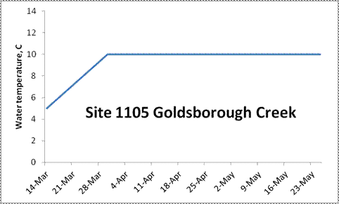
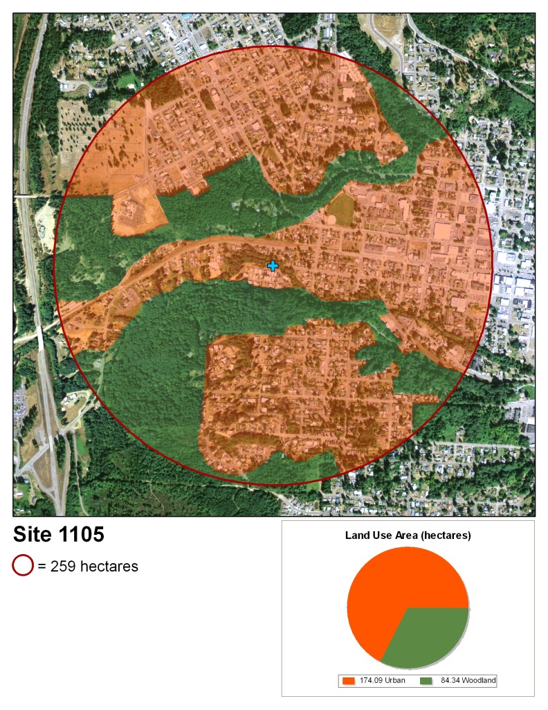
2011-1105 Monitoring Goldsborough Creek

Goldsborough Creek

A bridge with a wooden railing on a paved road leading to some trailers
Standing on the bank of a stream looking at a bridge with wooden railings through some deciduous trees

Site 1105

looking down from above at a creek with a steep bank on the left, lined with leafless birch trees.

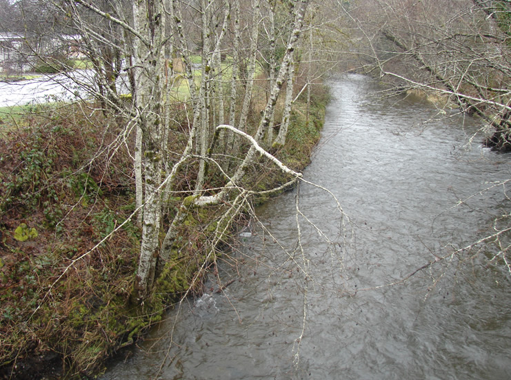
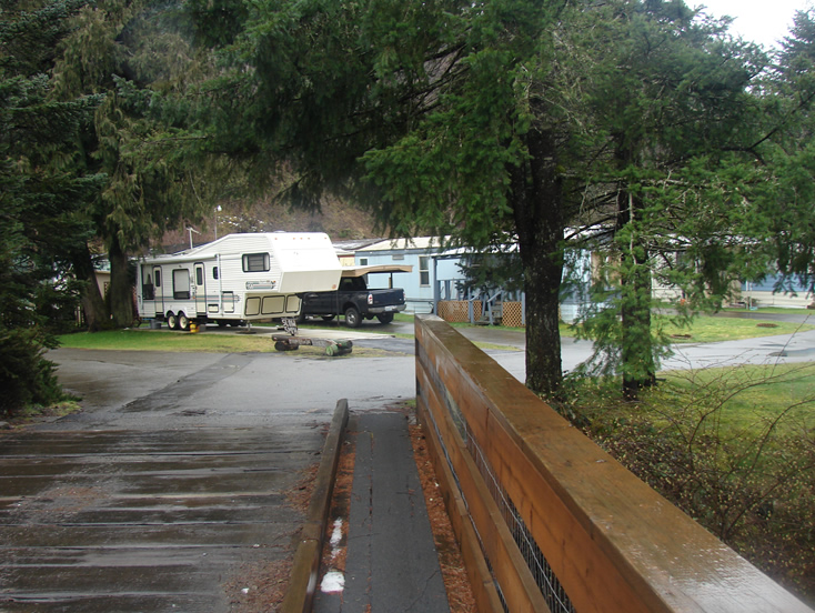
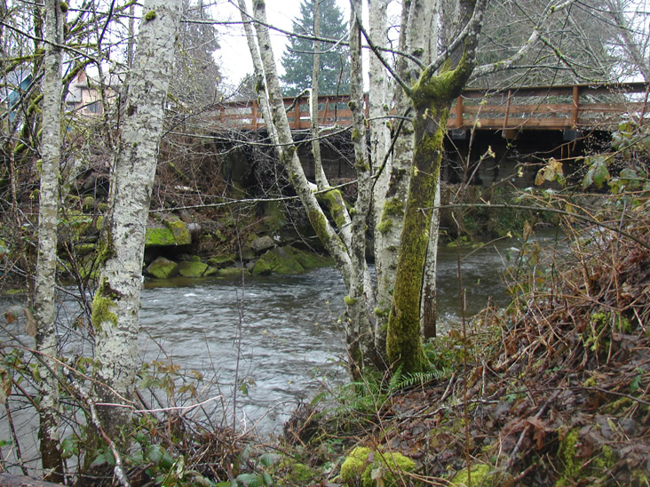
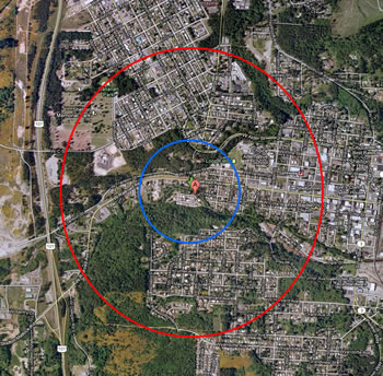
Goldsborough Creek in Shelton, WA.


USGS data on Goldsborough Creek

Goldsborough Creek dam removal


Elevation 31 ft

Stream order 2 (pdf)

A map that has the site marked in the center as a blue plus. It depicts land use in the area. Each type of land use is denoted by a transparent colored overlay inside a red circle totaling 259 hectares. The land use is as follows: 174.09 hectares urban, 84.34 hectares woodland.
the same land area as is shown in the map above. the red circle on the outside shows the extent with a smaller blue circle inside it, around a red location marker at the center.
The water temperature results from site 1105 Goldsborough Creek. On 14 March it was 5C. By 4 April it had raised up to 10C, where it stayed at least through 23 May.

WSU Puyallup Research & Extension Center
2606 West Pioneer, Puyallup, WA, 98371-4998 USA
Last updated 9/24/2025