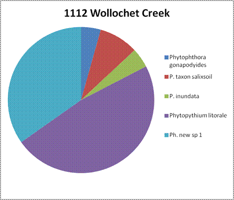
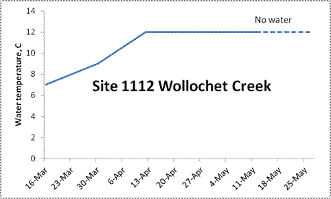
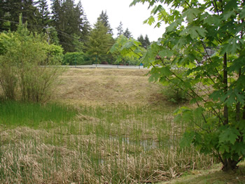
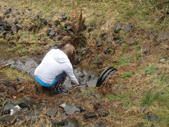
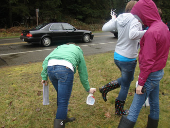
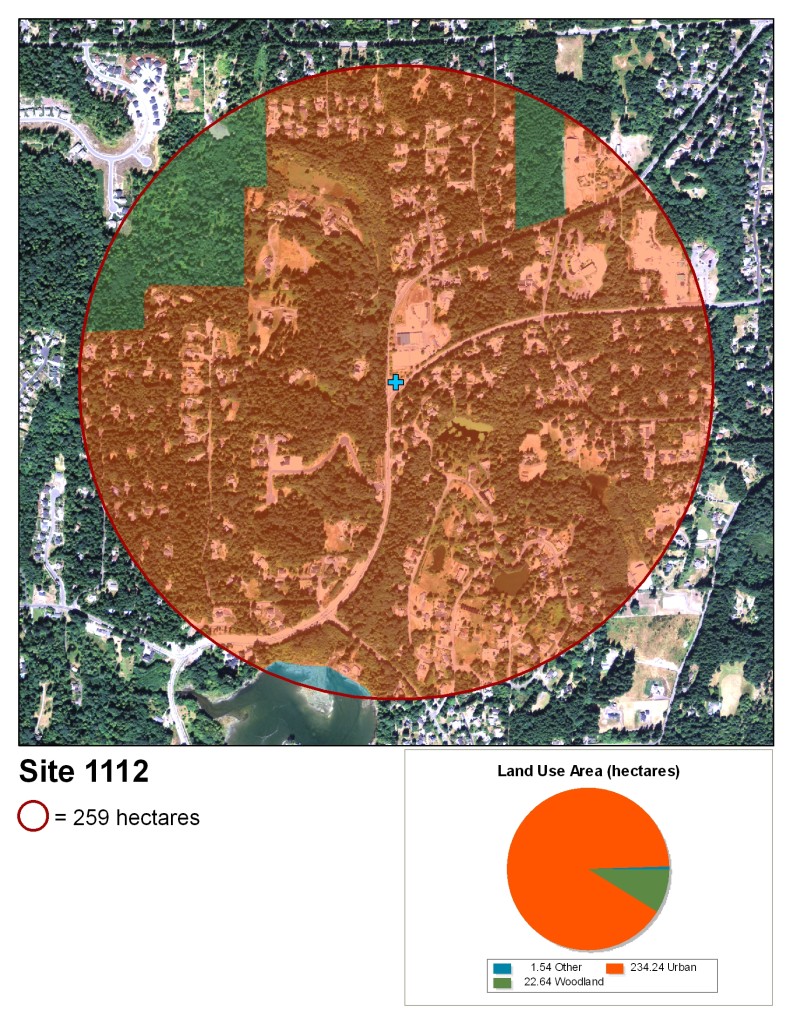
2011-1112 Monitoring Wollochet Creek

Wollochet Creek

a 'green space' type area, with a multi-stemmed shrub in left of the frame and a young Acer macrophyllum in right of the frame. The ground is dominated by dead brown grass, but there is a good amount of a stemmy green plant growing upward, with more toward the shrub mentioned.
a student in a white hoodie squats by a small black culvert, touching the bit of water that is coming out of it.
Three students standing together, all of whom are looking away from the camera. The one on the right is bent over a bit, spraying 409 on the soles of the boots of the student in the middle, who has their leg lifted to give access to the spray. The student on the right is facing the first student.

Site 1112

Two students standing together. The student on the left is holding a clipboard and pen and is looking at a small black device held by the student on the right.
Youth volunteers contributing to stream monitoring and research
The hands of two students are visible at the top of the frame. The camera is centered on the water coming out of a small black culvert, in front of which is floating a flat mesh bait bag with rhododendron leaves in it. The hands on the left are holding a long white piece of twine or possibly wire while the hands on the right are holding a small stick in the same space as the ends of the white wire.
four students and a teacher standing in a row posing for a picture. The student on the left is holding a clipboard facing toward her down by her legs.

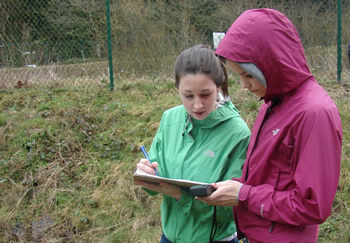
Near Wollochet Creek in Gig Harbor, WA


Watershed Action Agenda (2009-2013) (pdf)

Pierce County website


Elevation 118 ft

Stream order 1 (pdf)

A map that has the site marked in the center as a blue plus. It depicts land use in the area. Each type of land use is denoted by a transparent colored overlay inside a red circle totaling 259 hectares. The land use is as follows: 1.54 hectares "other" (part of a lake), 234.24 hectares urban, 22.64 hectares woodland.
the same land area as is shown in the map above. the red circle on the outside shows the extent with a smaller blue circle inside it, around a red location marker at the center.
a circle graph showing the species results from site 1112 Wollochet Creek. There are no numbers for percentages. Slightly less than half the total samples were Phytopythium litorale. Most of the remaining samples were Phytophthora new sp 1. The last three in order of wedge size are Phytophthora taxon salixsoil, Phytophthora inundata, and Phytophthora gonapodyides.
a line graph detailing the water temperature results at site 1112 Wollochet Creek. The water was 7C on 16 Mar. It moved up to 9C on 6 April, then up again to 12C on 13 April, where it remained until the water stopped flowing on 11 May.

WSU Puyallup Research & Extension Center
2606 West Pioneer, Puyallup, WA, 98371-4998 USA
Last updated 9/24/2025